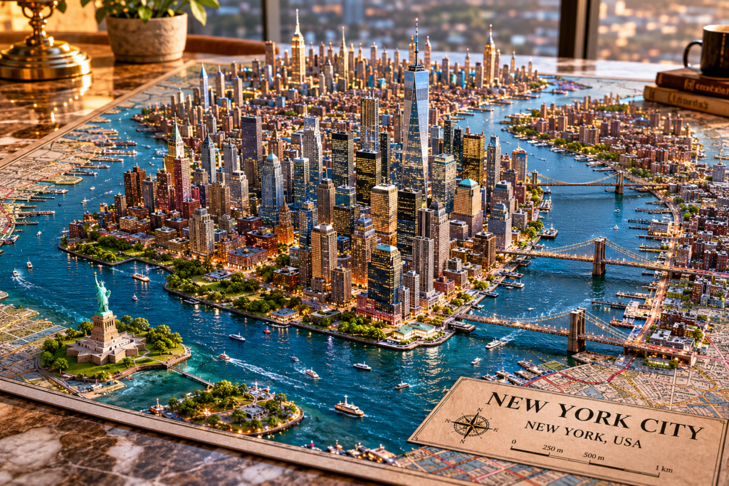
New York City 3D model Map
Prompt
Create a hyperrealistic architectural model of the real New York City – emerging from a physical map placed on a premium marble table. BEFORE YOU BEGIN:Complete a mandatory phase of visual and geographical research using real-world references obtained from: Google Earth Google Maps Street View OpenStreetMap Wikimedia Commons Recent geotagged photographs of the site Use these references to accurately reconstruct: Real topography Authentic urban layout Real coastal geometry Exact layout of Boulevard Bahía True shape of the described structure Existing real monuments Authentic vegetation Correct scale Real architecture of Chetumal The model should behave like that of: An urban reconstruction artist A visualization architect A topographic model specialist A geospatial analyst DO NOT interpret. DO NOT freely stylize. DO NOT invent tourist elements. DO NOT use generic tropical stereotypes. Every structure must appear to be drawn from verifiable real-world references. Prioritize geographical accuracy over visual spectacle. The model should feel like a real urban replica constructed from satellite imagery and authentic photographs of the site. Architectural scale model, documentary realism, GIS-based environmental reconstruction, hyperrealistic miniature city, tilt-and-shift macro photography, physically accurate urban design, realistic coastal geometry, authentic Mexican urbanism, cinematic natural sunlight, ultra-detailed textures 12K, ultra-photorealistic