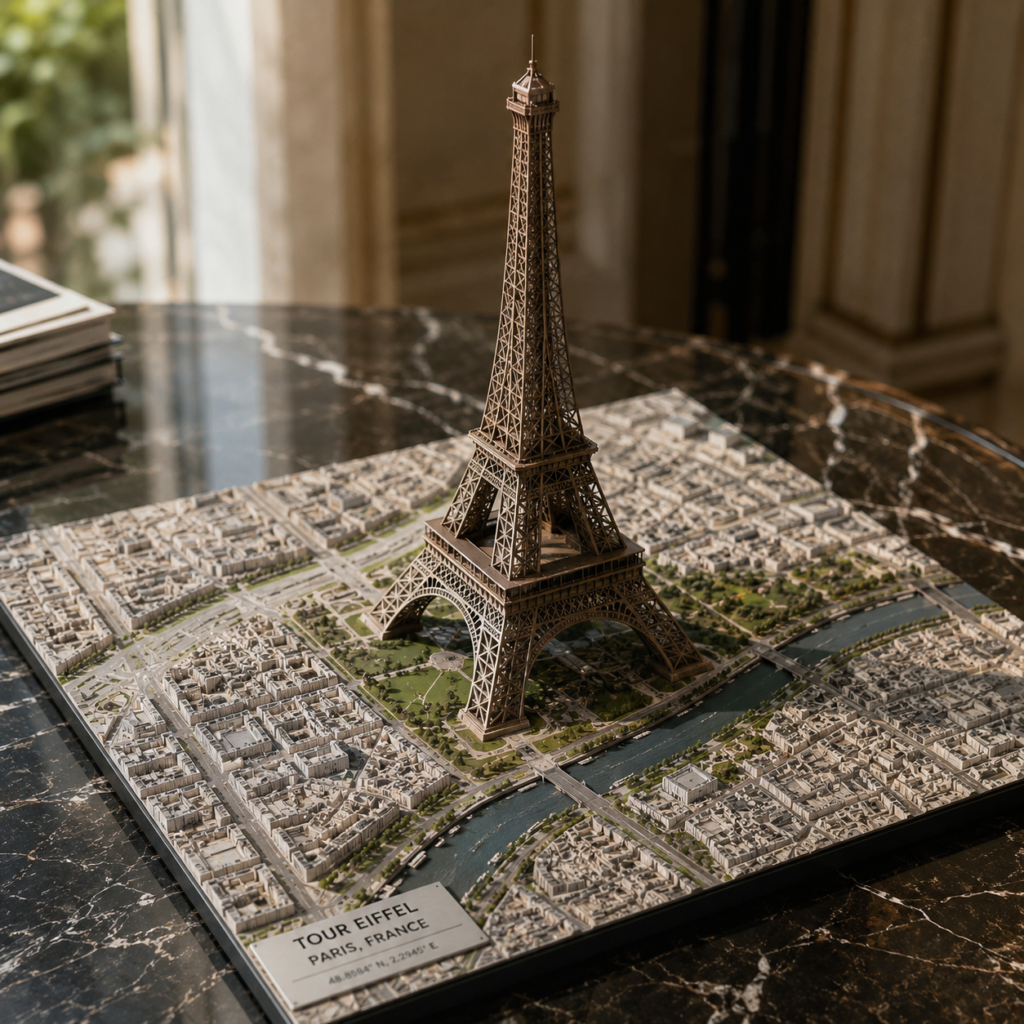
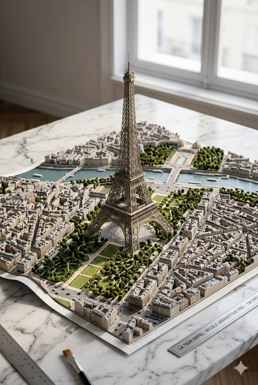
Create a hyperrealistic architectural model of the real Eiffel Tower – France, Paris
Prompt
Create a hyperrealistic architectural model of the real Eiffel Tower – France, Paris – emerging from a physical map placed on a premium marble table.


BEFORE YOU BEGIN:
Complete a mandatory phase of visual and geographical research using real-world references obtained from:
- Google Earth
- Google Maps
- Street View
- OpenStreetMap
- Wikimedia Commons
- Recent geotagged photographs of the site
Use these references to accurately reconstruct:
- Real topography
- Authentic urban layout
- Real coastal geometry
- Exact layout of Boulevard Bahía
- True shape of the described structure
- Existing real monuments
- Authentic vegetation
- Correct scale
- Real architecture of Chetumal
The model should behave like that of:
- An urban reconstruction artist
- A visualization architect
- A topographic model specialist
- A geospatial analyst
DO NOT interpret.
DO NOT freely stylize.
DO NOT invent tourist elements.
DO NOT use generic tropical stereotypes.
Every structure must appear to be drawn from verifiable real-world references.
Prioritize geographical accuracy over visual spectacle.
The model should feel like a real urban replica constructed from satellite imagery and authentic photographs of the site.
Architectural scale model, documentary realism, GIS-based environmental reconstruction, hyperrealistic miniature city, tilt-and-shift macro photography, physically accurate urban design, realistic coastal geometry, authentic Mexican urbanism, cinematic natural sunlight, ultra-detailed textures
12K, ultra-photorealistic